
DJI Zenmuse P1 | Disaster Management by Bahagian Geospatial Pertahanan JUPEM
LiDAR Point Cloud Processing Methods
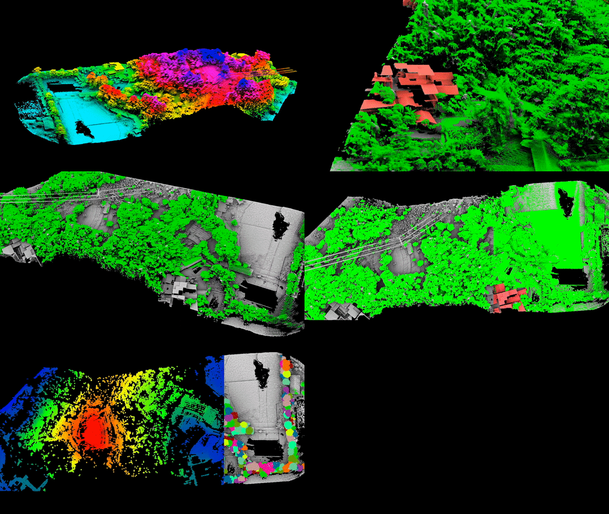
Point Cloud, or the three-dimensional coordinate points, represent the features of a terrain projected in the three-dimensional coordinate system of a computer. These coordinates of the objects on each pixel are calculated using Computer Vision.