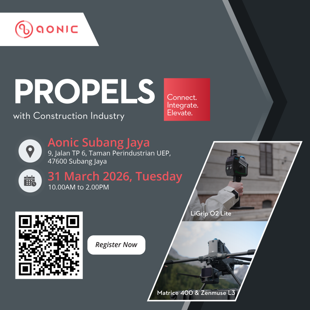
Join us for an exclusive Propels: Scan-to-BIM with UAV & Ground LiDAR event, where industry professionals, technology experts and decision-makers come together to explore how advanced reality capture technologies are transforming the way we document, analyze and manage to built environments. This session will introduce the latest capabilities in UAV LiDAR scanning and on-ground based LiDAR systems, demonstrating how these technologies enable faster, more accurate and highly detailed digital modes for construction, infrastructure and surveying applications. Participants will gain valuable insights into how Scan-to-BIM workflows can streamline project documentation, reduce manual survey time and improve collaboration across project stakeholders.
Throughout the session, attendees will experience practical demonstrations featuring industrial-grade solutions such as the DJI Matrice 400 paired with the Zenmuse L3 LiDAR system, showcasing how aerial and ground scanning technologies complement each other to capture comprehensive spatial data efficiently. This event is a great opportunity for construction companies, infrastructure developers and engineering consultants, who are looking to adopt smarter, more efficient geospatial workflows. In addition to the technology showcase, participants will have to chance to interact with experts, ask technical questions and gain applications of LiDAR-based mapping and BIM integration