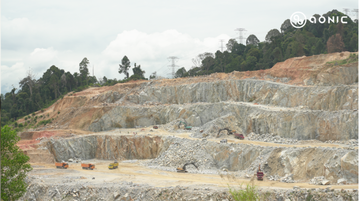
Most people drive past a quarry without thinking twice about what goes on inside. Yet every road, bridge, and building begins here. Quarries supply the stone and sand that hold our cities together. The work is demanding and precise. A small miscalculation can waste time, damage equipment, or even create safety risks.
For years, surveyors relied on traditional tools and their own experience. They walked steep slopes under the sun, marking points by hand and calculating elevation from rough measurements. It worked, but it was slow and sometimes uncertain. Teams could only map small sections each day, and heavy machinery often had to stop while surveys were in progress.
That old routine is slowly giving way to something new.
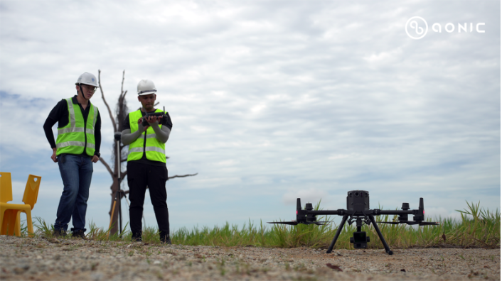
Together with Drone Academy Asia, Aonic began introducing the DJI Zenmuse L2 LiDAR system mounted on the DJI Matrice 350 RTK. The idea was simple, we let the drone collect data from the air so people could stay safe on the ground. What used to take days of walking now happens in a single flight.
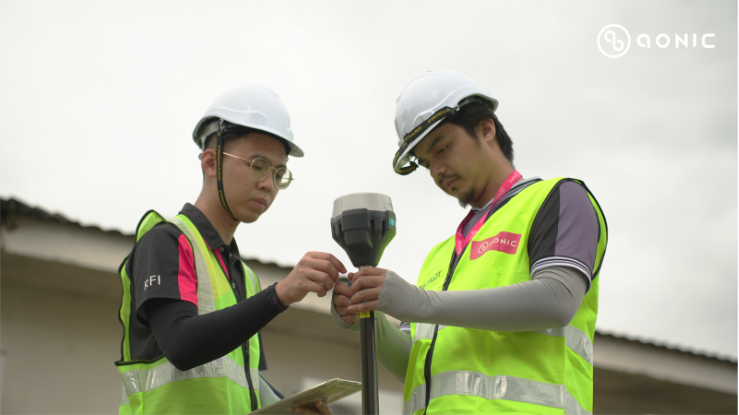
Each mission starts with planning. The team marks the area in DJI Pilot 2, setting a path that covers the quarry evenly. Once launched, the drone moves on its own, sending live data back to the control tablet. The LiDAR sensor scans the terrain, collecting millions of points that together form a precise three-dimensional picture of the ground.
Back at the office, those points are processed in DJI Terra. In a few minutes, a complete 3D model appears on screen. It shows slopes, surfaces, and every small change in the rock face.
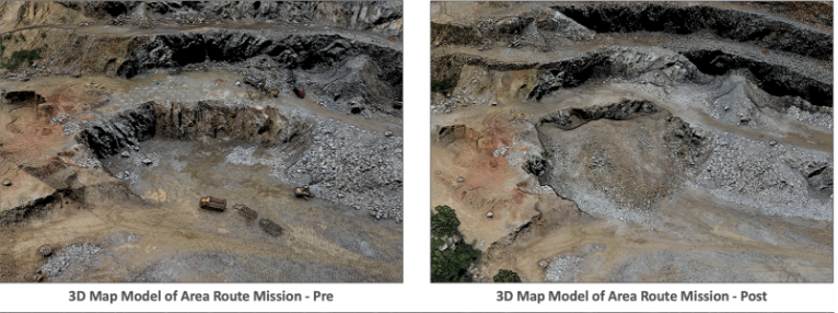
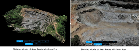
To be honest, it is surprising how much detail the model reveals. Teams can rotate the view, measure exact heights, and compare conditions before and after a blast. The software calculates the amount of material removed with almost no manual work. What once needed a full day in the field can now be checked on a monitor in the office.
The difference is not only in speed. The new workflow is safer. Surveyors no longer need to walk near active zones or climb uneven surfaces. They can let the drone handle the risky parts while they focus on data analysis. The information is also far more consistent. Every flight repeats the same path, which means measurements stay accurate from one survey to the next.
In practice, the change has made a visible impact. Heavy machinery no longer has to stop for long surveys. Flights last only a few minutes, and operations keep running. Managers get quick updates on material volume, slope stability, and progress tracking. The data helps them decide when to move equipment or plan the next excavation safely.
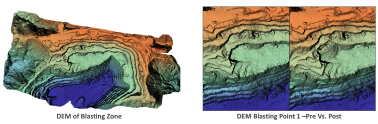
The software also helps visualize terrain changes. DJI Terra creates digital elevation maps that highlight steep zones and areas that need attention. Instead of guessing, teams can plan safer routes for trucks and loaders. The same data can even help track how weather and erosion affect certain parts of the pit.
The DJI Zenmuse L2 and DJI Matrice 350 RTK have changed how people see their own workplace. What used to be a difficult environment full of guesswork is now mapped in clear, measurable detail.
For the people who work there, it means more than just new equipment. It means peace of mind. The process is quicker, the data is reliable, and everyone goes home safely. The collaboration between Aonic and Drone Academy Asia shows that innovation can fit naturally into a traditional industry without replacing its people.
LiDAR technology has turned routine surveys into something powerful. It has given quarry teams a new way to see their land, plan their work, and protect their safety. Each flight tells the story of progress — not a story about machines, but about people finding smarter ways to do their jobs.
In a field where precision truly matters, LiDAR is not just a tool. It is a partner that helps quarries work with confidence, efficiency, and care for the land they depend on.