
Aerovene – Unleash Power & Reliability (Drone Monitoring and Countermeasure Solutions)
LiDAR Point Cloud Processing Methods
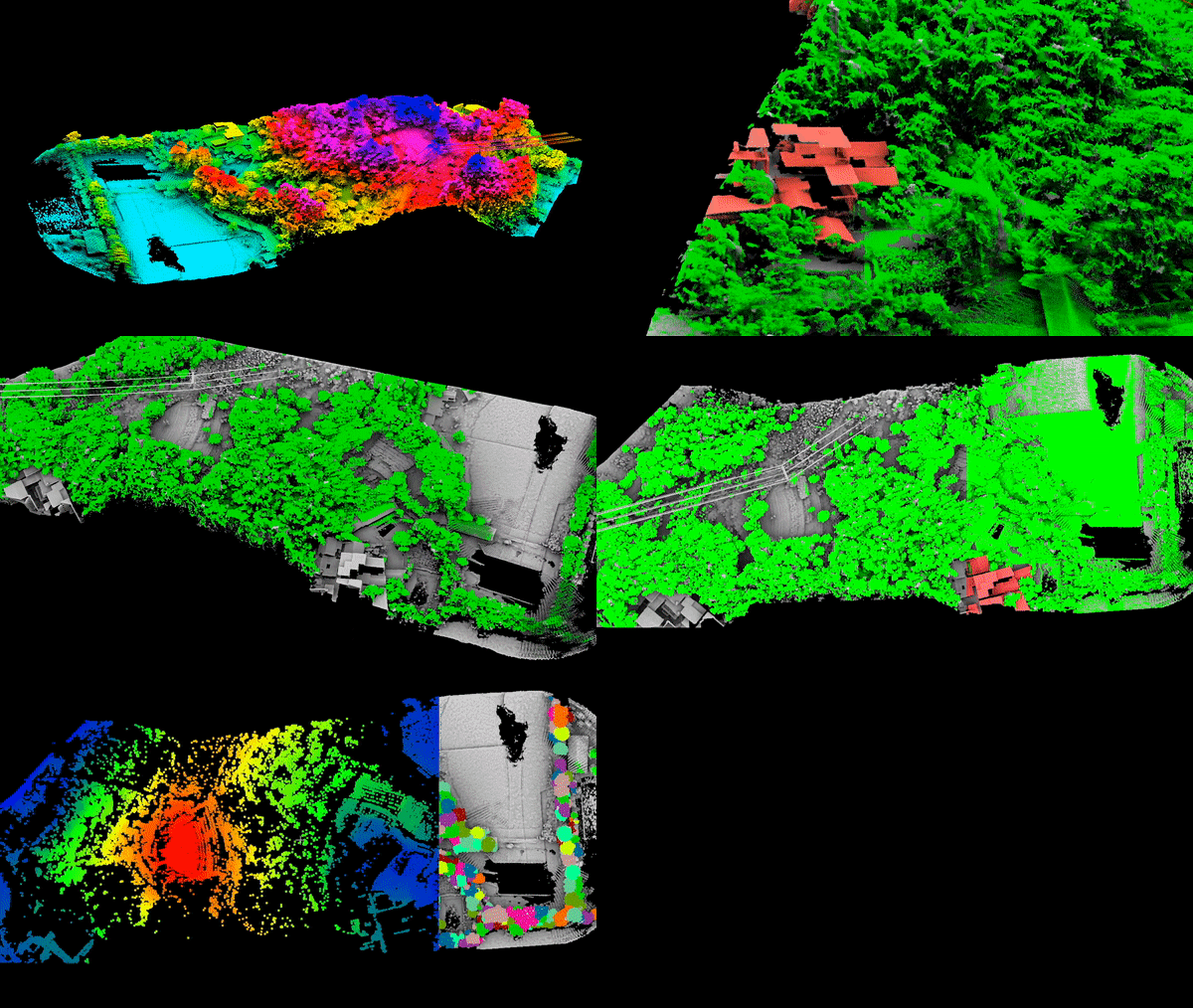
Point Cloud, or the three-dimensional coordinate points, represent the features of a terrain projected in the three-dimensional coordinate system of a computer. These coordinates of the objects on each pixel are calculated using Computer Vision.
Multiple Returns in LiDAR Drone Mapping
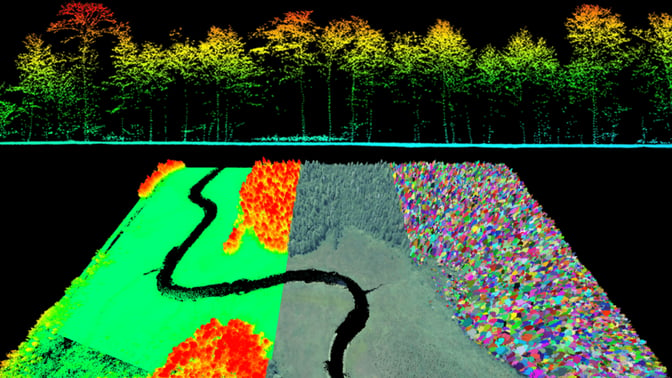
Aonic will guide you through the basic information about LiDAR technology along with the methods of processing Point Cloud data in order to create accurate 3D maps.
Revolutionary DJI Zenmuse L2 LiDAR Enhances AEC Surveys and Inspections
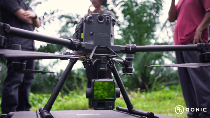
Aerial LiDAR with Matrice 350 RTK and DJI Zenmuse L2 significantly reduces surveying time compared to traditional methods. The system’s rapid data acquisition capabilities, such as the effective point cloud rate of 240,000 points per second, enable quicker coverage of large areas.
DJI Dock: Unleashing Efficiency in Solar Farm Management
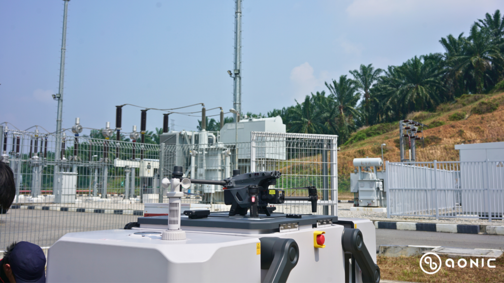
Recognizing the need for a more streamlined approach, a solar farm operator in Negeri Sembilan, Malaysia has embraced DJI Enterprise’s drone technology, leveraging the autonomous DJI Dock, to revolutionize their workflow.