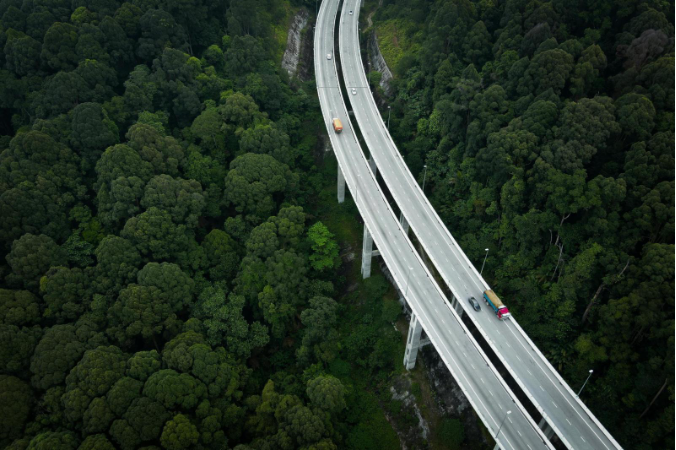
Bridges are more than just concrete and steel. They connect cities, ease traffic, and keep people and goods moving smoothly. In busy places like Kuala Lumpur and Penang, bridges play an even bigger role by providing alternate routes and reducing congestion.
Because they are so important, bridges must be inspected regularly to ensure safety and long-term durability. But traditional inspections using scaffolding or heavy equipment are slow, expensive, and sometimes dangerous.
This is where drone technology with LiDAR comes in. With the DJI Zenmuse L2 LiDAR sensor mounted on the DJI Matrice 350 RTK drone, supported by the Emlid RS3 GNSS receiver and DJI Terra software, bridge inspections can now be done faster, safer, and with greater accuracy.
Challenges
Inspecting bridges has always been difficult. Some of the biggest challenges include:
These challenges highlight the need for a smarter, data driven approach to monitoring bridges
Equipment and Uses
For this bridge survey case study, a complete set of tools was deployed:
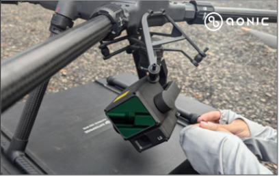
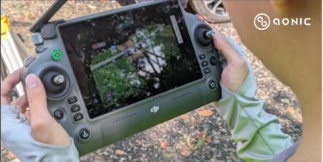
Together, these tools deliver reliable and repeatable results that traditional inspections cannot match.
Mission Execution
The bridge survey followed a step-by-step process:
The team used DJI Pilot 2 to design flight routes and set parameters such as altitude, speed, and overlap.
The Matrice 350 RTK flew the automated mission with the Zenmuse L2 capturing LiDAR data, while the RS3 logged positioning data. FlightHub 2 provided real time livestreaming for better situational awareness.
Once the mission was done, the drone performed an automatic return to home, ensuring smooth operations.
This workflow ensured that the survey was efficient, safe, and comprehensive.
Data Analysis and Insights
With the collected data, DJI Terra generated detailed outputs:
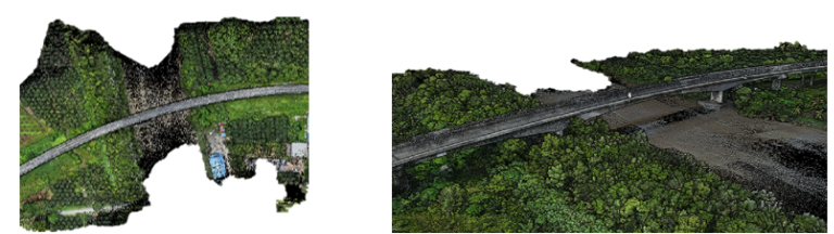
Bridge 2D Point Cloud Output Bridge 3D Point Cloud Output
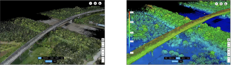
Bridge 3D Point Cloud Output Bridge 3D Point Cloud Output
RGB Display Height Display
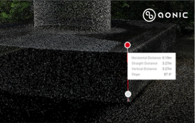
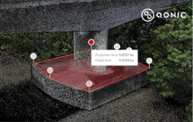
These outputs give engineers clear, actionable insights that support early maintenance and long-term planning.
Conclusion
Bridge inspections will always be essential, but they no longer need to be slow, costly, or unsafe. By using the DJI Matrice 350 RTK, Zenmuse L2, Emlid RS3, FlightHub 2, and DJI Terra, survey teams can now deliver:
This case study shows that drone-based LiDAR mapping is becoming the new standard for bridge surveys. It allows cities and engineers to protect critical infrastructure with greater speed, safety, and accuracy.