
Zenmuse L2 | Unboxing & Features
Reach RS3 | Unboxing
DJI Dock: The Future of Building Survey Inspections Unveiled
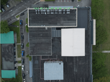
Equipped with advanced imaging technologies, drones can navigate and capture data from challenging locations without the need for physical presence. This transformative technology allows for more frequent and comprehensive inspections, ensuring a detailed and accurate analysis of a building’s condition.
How to Increase Accuracy in Drone LiDAR Data Collection?
Afif is passionate about blending technology with storytelling, excels as a content manager crafting compelling drone-related narratives. His extensive experience in content strategy and video production consistently elevating marketing approach. Afif eagerly seeks collaborations aligning with their passion for content management, video production, and the fascinating world of drones. If you resonate with Afif’s vision for innovative storytelling and impactful brand narratives, he welcome the opportunity to connect and explore potential synergies, always open to engaging in conversations and creative partnerships.
Examples of LiDAR Usage in Different Industries
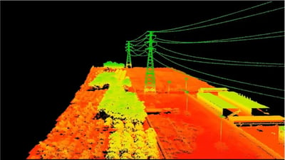
As we look towards the future, the integration of LiDAR in metaverse tourism and virtual reality showcases the potential for even more exciting advancements. It’s incredible to see how this cutting-edge technology continues to push boundaries and transform the way we approach various challenges in different sectors.
LiDAR Point Cloud Processing Methods
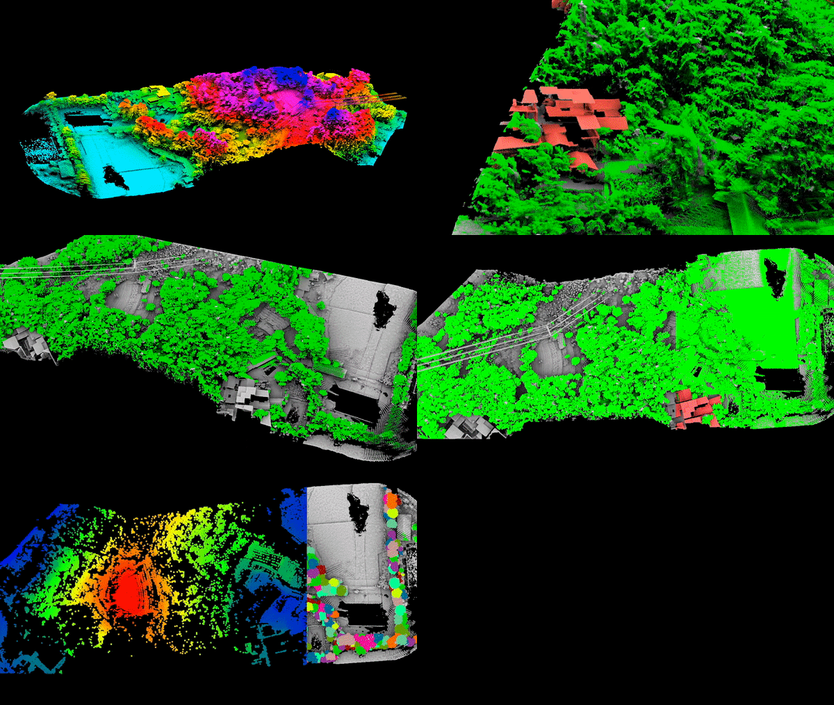
Point Cloud, or the three-dimensional coordinate points, represent the features of a terrain projected in the three-dimensional coordinate system of a computer. These coordinates of the objects on each pixel are calculated using Computer Vision.
Multiple Returns in LiDAR Drone Mapping
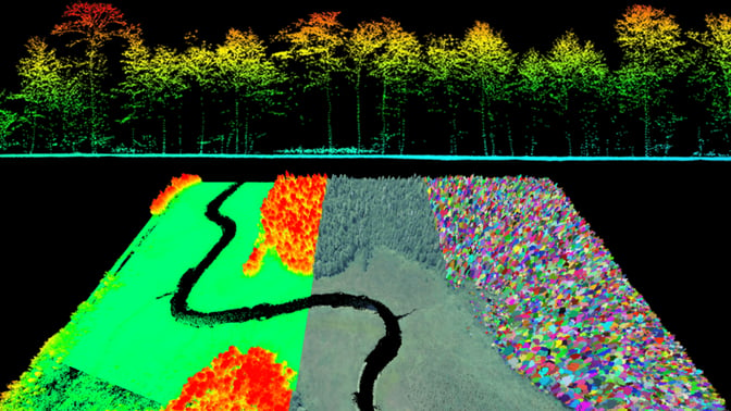
Aonic will guide you through the basic information about LiDAR technology along with the methods of processing Point Cloud data in order to create accurate 3D maps.
Revolutionary DJI Zenmuse L2 LiDAR Enhances AEC Surveys and Inspections
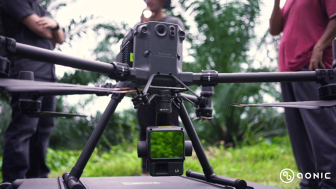
Aerial LiDAR with Matrice 350 RTK and DJI Zenmuse L2 significantly reduces surveying time compared to traditional methods. The system’s rapid data acquisition capabilities, such as the effective point cloud rate of 240,000 points per second, enable quicker coverage of large areas.
Enhancing Simulation Modeling and Analysis with DJI Modify
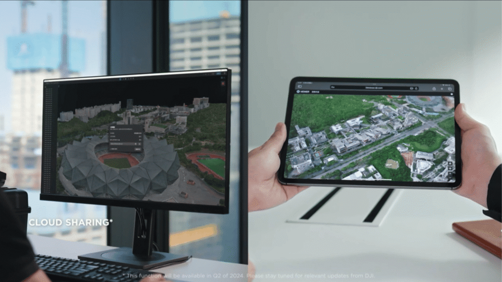
DJI Modify is designed to seamlessly integrate with DJI Terra, creating a streamlined workflow for simulation modelling and analysis. With DJI Modify, users can easily import 3D models captured by DJI Enterprise drones through DJI Terra. This seamless integration allows for a smooth transition from aerial surveying and modelling to model editing.