
Introducing the Emlid Reach RX2
DJI Zenmuse L3 Unboxing | Built for Precision Mapping
Exploring Land Use Types of Precision Mapping with UAV-GIS Integration
Comparative Analysis of DJI Zenmuse L1 and L2 LiDAR Sensors for Aerial Surveying Efficiency and Precision Assessment
3D Mapping Nature’s Heritage with DJI Mavic 3E
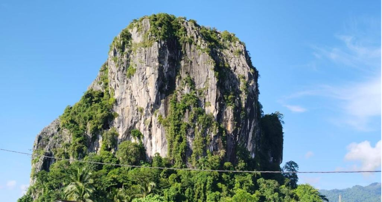
Instead of walking along the long trails or climbing rocks, the drone flew over the hill and its forest, capturing thousands of sharp images from different angles.
How One Flight Replaced Days of Manual Survey Work
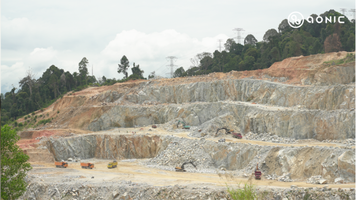
Together with Drone Academy Asia, Aonic began introducing the DJI Zenmuse L2 LiDAR system mounted on the DJI Matrice 350 RTK.
Bringing Accuracy and Efficiency to Bridge Surveys with DJI Mavic 3E
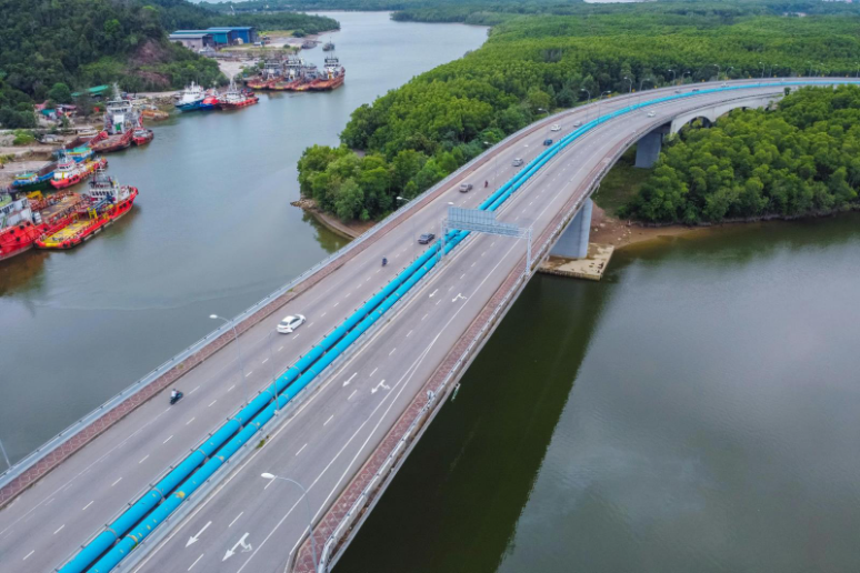
The DJI Mavic 3 Enterprise (M3E) makes bridge inspections faster, safer, and more precise by capturing detailed data from the air.
The Future of Construction Inspections with DJI M4T
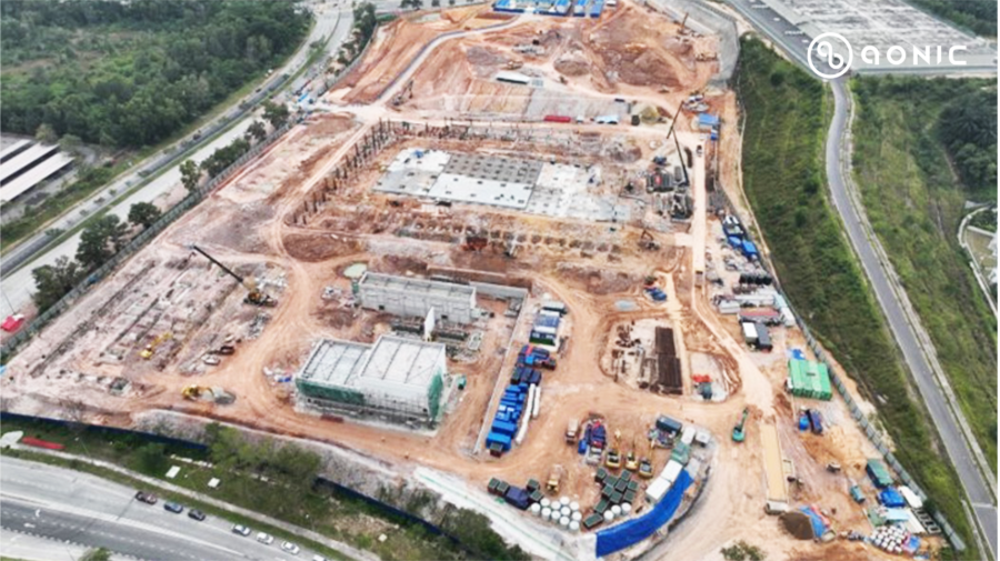
The DJI Matrice 4T (M4T) is designed to make inspections faster, safer, and more accurate, helping teams focus on building with confidence.
Smarter Bridge Surveys with DJI Zenmuse L2 LiDAR
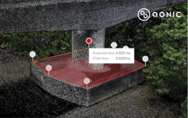
With the DJI Zenmuse L2 LiDAR sensor mounted on the DJI Matrice 350 RTK drone, supported by the Emlid RS3 GNSS receiver and DJI Terra software, bridge inspections can now be done faster, safer, and with greater accuracy.
How Zenmuse L2 is Transforming Mineral Exploration and Mapping
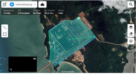
Today, a new solution is changing the way surveys are done. With the DJI Zenmuse L2 LiDAR sensor, mounted on the DJI Matrice 350 RTK drone, and supported by the Emild RS3 GNSS receiver and DJI Terra processing software, mineral exploration has become faster, safer and far more accurate.