The Future of Construction Inspections with DJI M4T
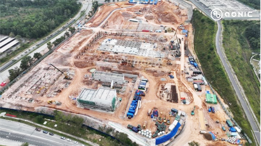
The DJI Matrice 4T (M4T) is designed to make inspections faster, safer, and more accurate, helping teams focus on building with confidence.
Matrice 3T vs Matrice 4T: Which Drones Wins in Inspection Operations

With the ability to fly into hard-to-reach places and capture detailed images, drones provide faster, safer, and more cost-effective inspections.
Enhancing Port Inspections with DJI Mavic 3E Drone Technology
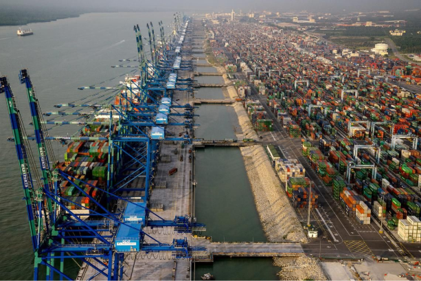
Compact, fast, and equipped with advanced sensors, drones like the DJI Mavic 3E are helping ports improve safety, efficiency, and overall performance.
Smarter Bridge Surveys with DJI Zenmuse L2 LiDAR
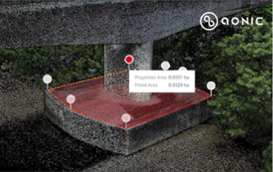
With the DJI Zenmuse L2 LiDAR sensor mounted on the DJI Matrice 350 RTK drone, supported by the Emlid RS3 GNSS receiver and DJI Terra software, bridge inspections can now be done faster, safer, and with greater accuracy.
Connected by Data: Aonic’s Drone Ecosystem in Action
How DJI’s Ecosystem Transforms Oil and Gas Plant Inspections
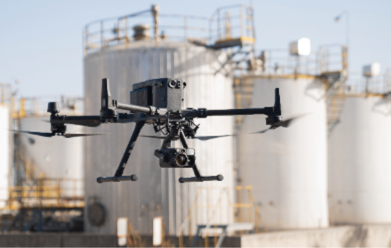
Traditionally, inspections were done manually, which was slow and sometimes unsafe. Today, drone technology is changing how inspections are done, making them faster, safer, and more accurate.
Utilizing the DJI Dock 2 for Underground Fire Prevention
How Zenmuse L2 is Transforming Mineral Exploration and Mapping
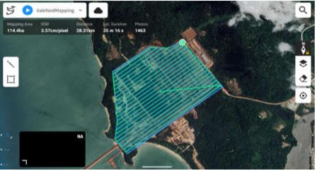
Today, a new solution is changing the way surveys are done. With the DJI Zenmuse L2 LiDAR sensor, mounted on the DJI Matrice 350 RTK drone, and supported by the Emild RS3 GNSS receiver and DJI Terra processing software, mineral exploration has become faster, safer and far more accurate.
DJI FlyCart 30: Revolutionizing Solar Panel Delivery by Air
Track Smarter: How the DJI Zenmuse H30T is Changing Farm Animal Monitoring
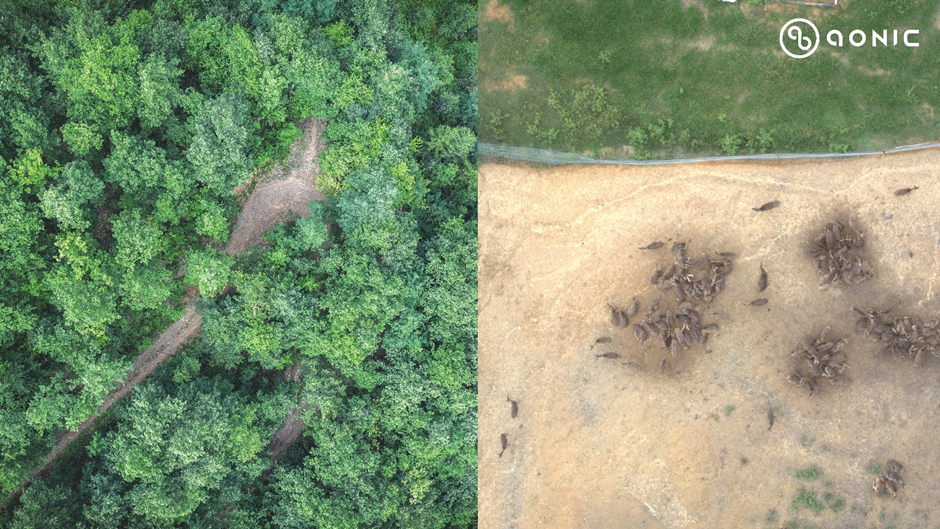
Recently, we had the opportunity to collaborate with DVS to improve their animal trace and track monitoring. While DVS has traditionally relied on manual methods like camera traps, these techniques can be time-consuming, limited by terrain, and hard to access. This often slows data collection and delays action. By integrating advanced drone technology, we are now able to provide DVS with faster, more accurate data collection, helping them make quicker, more informed decisions.